Search Results
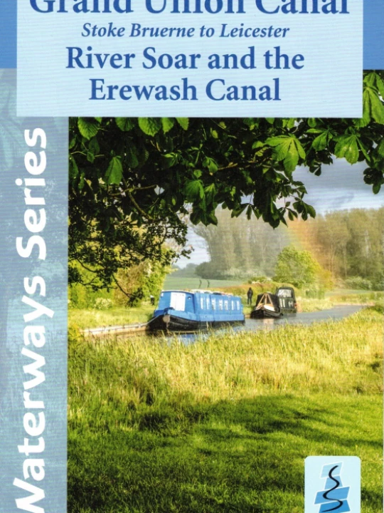
A full colour map of the Grand Union Canal from Stoke Bruerne to Langley Mill suitable for both waterway...
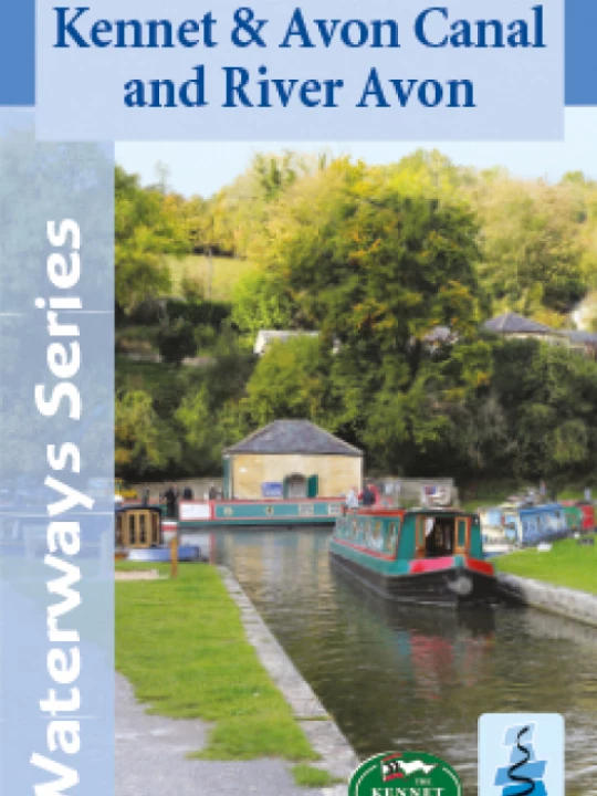
A full colour mapof the Kennet and Avon Canal and the River Avon suitable for both waterways and leisure...
This map is currently out of print. Please email sales@canalbookshop.co.uk or tel: 01270 811059 to enquire...
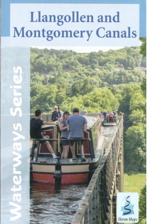
A full colour map of the Llangollen and Montgomery Canals suitable for both waterway and leisure users....
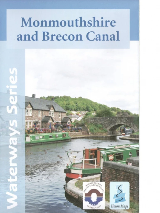
A full colour map of the Monmouthshire and Brecon Canal suitable for both waterways and leisure users....
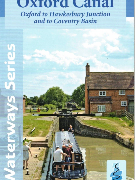
A full colour map of the Oxford Canal suitable for both waterways and leisure users. This map gives detailed...
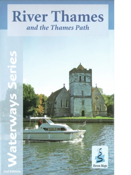
A full colour map of the River Thames and Thames Path suitable for both waterway and leisure users. This...
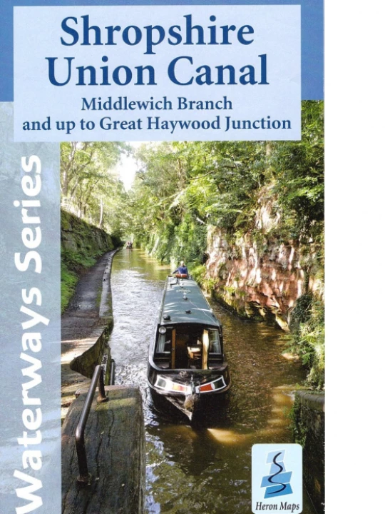
A full colour map of the Shropshire Union Canal suitable for both waterway and leisure users. This map...
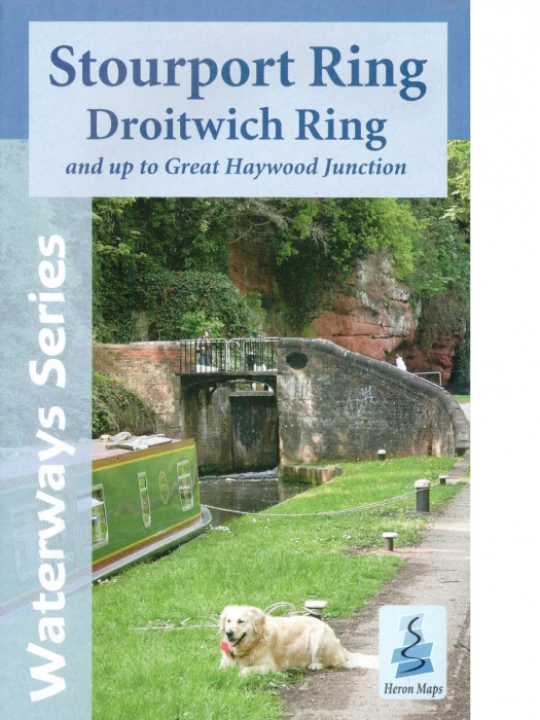
A full colour map of the Stourport and Droitwich Rings suitable for both waterway and leisure users....
Contact Us
CanalBookShop
c/o Canal Wholesale Supplies Ltd,
Unit 2, First West Business Centre,
Linnell Way,Telford Way Industrial Estate, Kettering
NN16 8PS