Search Results
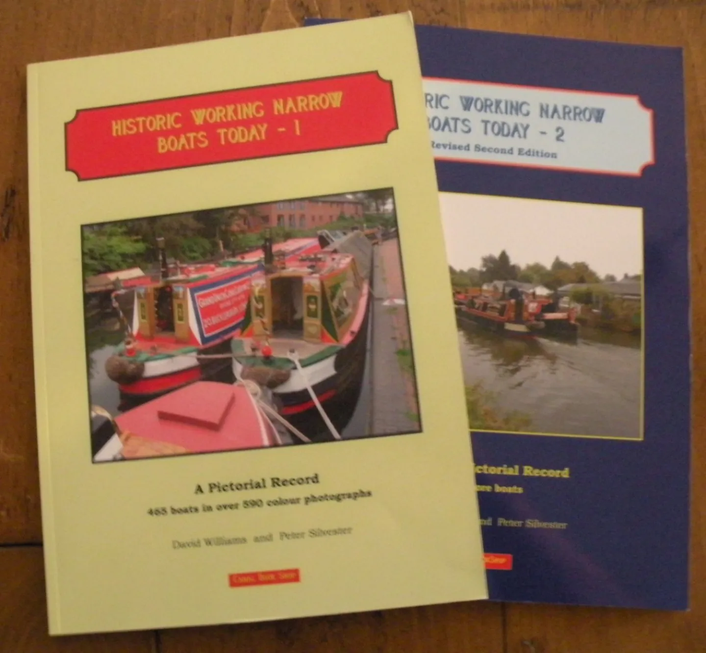
SPECIAL OFFER – buy both volumes of this book together for £30.00 (instead of £39.90...
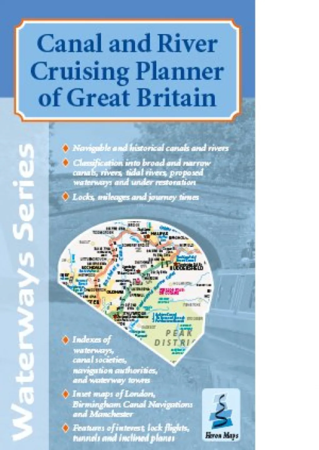
This cruise planner is the perfect companion to the individual waterways maps showing the
entire...

A full colour map of the Avon and Droitwich Rings suitable for both waterways and leisure...
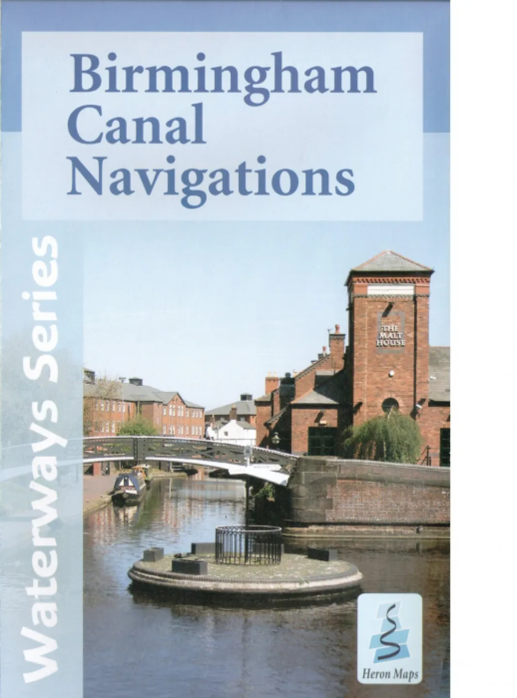
A full colour map of the Birmingham Canal Navigations (BCN) suitable for both waterways and leisure...
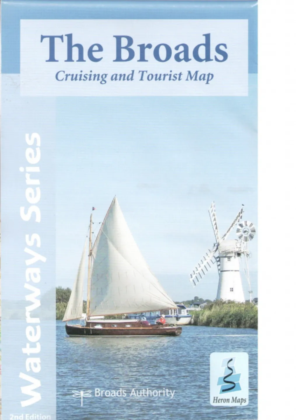
A full colour map of the Broads suitable for both waterways and leisure users. This map...
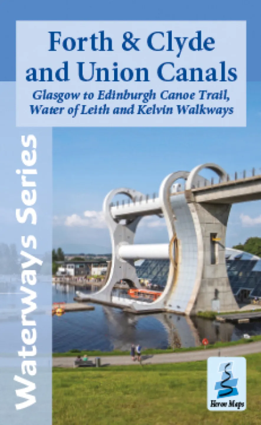
A full colour map of the Forth & Clyde and Union Canals suitable for both waterways and leisure users.
This map gives detailed coverage of the Forth & Clyde and Union Canals with the Glasgow to Edinburgh Canoe Trail, and Water of Leith and Kelvin Walkways, with emphasis on the waterways and information useful and relevant to users of the waterways without neglecting other leisure users. The map detail is complimented by information panels and photographs.
The Forth & Clyde Canal links the Irish Sea with the North Sea running from Bowling on the Clyde Estuary, to Grangemouth and the magnificent Kelpies on the Firth of Forth, providing a unique and tranquil path through some of Scotland&rsquo...
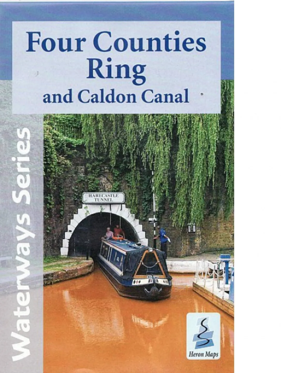
A full colour map of the Four Counties Ring and Caldon Canal suitable for both waterways...
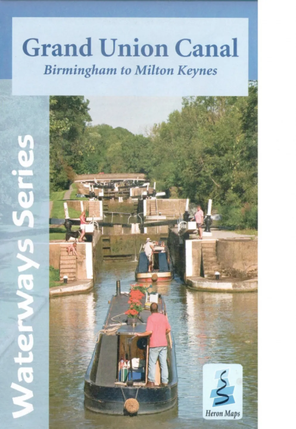
A full colour mapof the Grand Union Canal from Birmingham to Milton Keynes suitable for both...
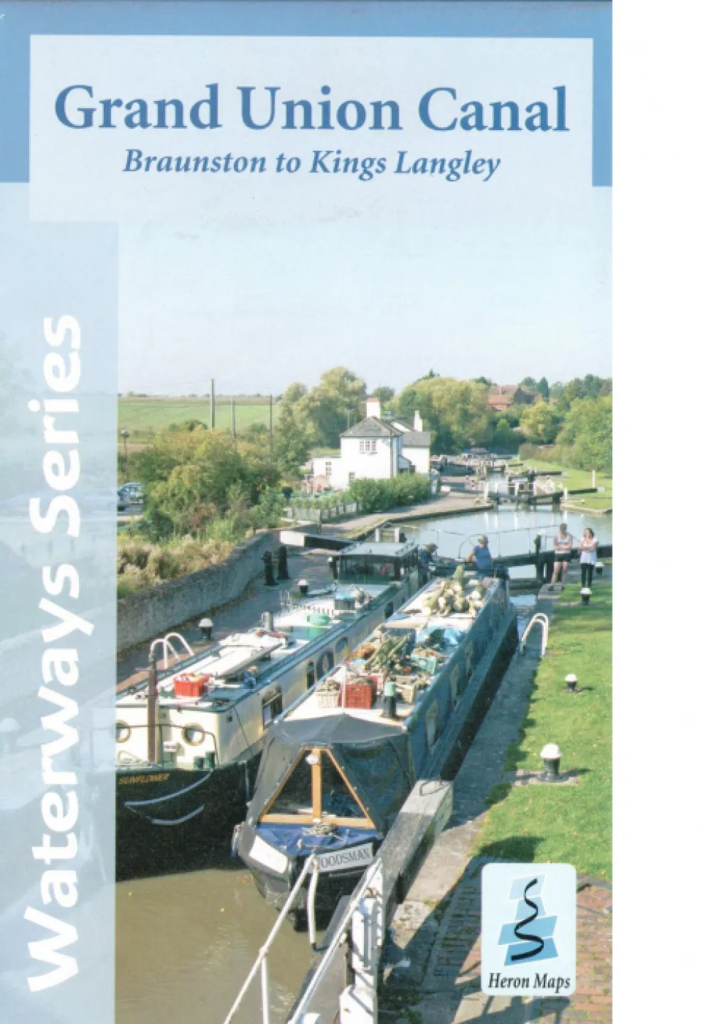
A full colour mapof the Grand Union Canal from Braunston to Kings Langley suitable for...
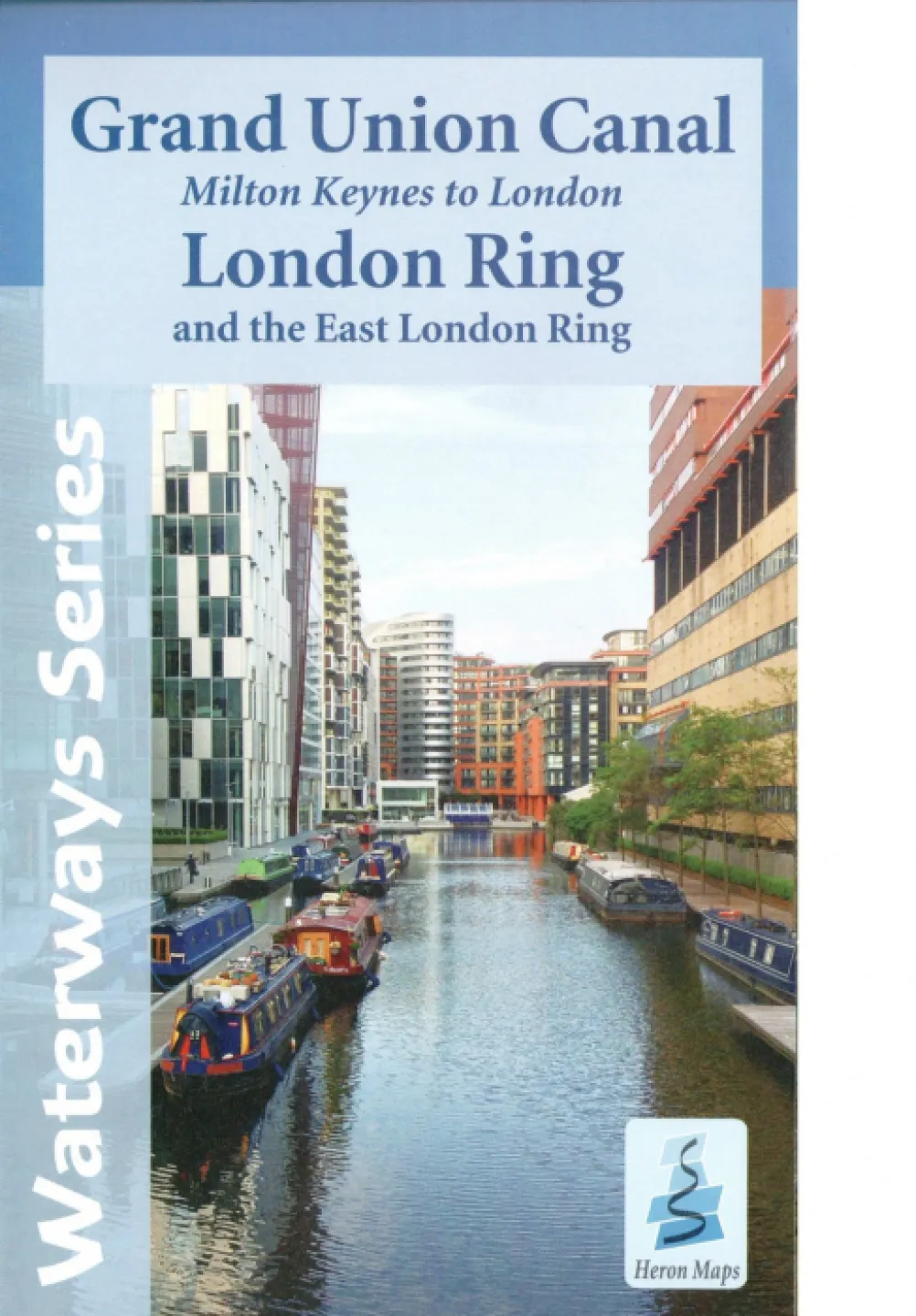
A full colour map of the Grand Union Canal from Milton Keynes to London, including the London and...
Contact Us
CanalBookShop
c/o Canal Wholesale Supplies Ltd,
Unit 2, First West Business Centre,
Linnell Way,Telford Way Industrial Estate, Kettering
NN16 8PS