Canals Map of Great Britain 1906
- Binding: Folded Map
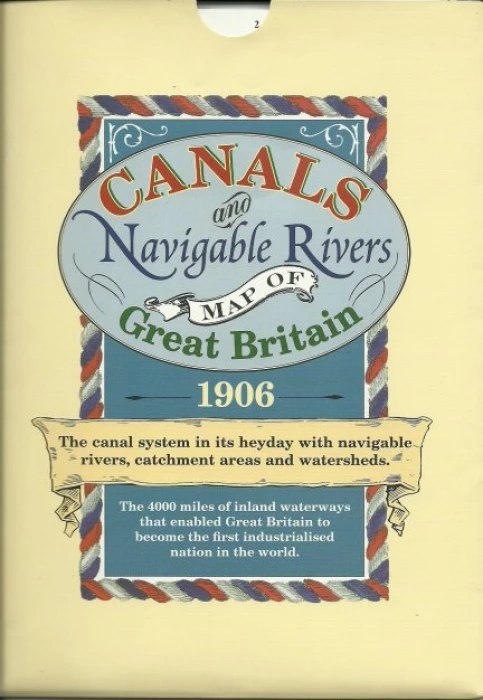
A century ago there were over 4000 miles of canals and navigable rivers in Great Britain. This map shows the network before many were abandoned, filled in and forgotten. Now many canals and their towpaths have been restored for use by walkers, runners, cyclists, naturalists, fishermen and, of course, holiday makers who enjoy the agreeable pace of a narrow boat. Although there had been canals for many centuries the building of them escalated rapidly from the mid eighteenth century as the demands of the industrial revolution required raw materials to be delivered to factories and finished products to be carried safely to the markets. They were needed because the rutted, poorly drained roads could not possibly offer the transport system that was needed. But as soon as the railway era commenced the long, slow decline of the canals began and by the time this map was first published in the early years of the twentieth century no more were being constructed and some had already been filled in or had fallen into disuse. This map records a canal system that served the country well and reminds us how lucky we are that the canals came before the railways. Had it been otherwise we would never have seen these beautifully constructed gentle waterways that contributed so much to the making of this country and which continue to be enjoyed to this day. A history describes the enormous contribution made by the canal system.
Contact Us
CanalBookShop
Audlem Mill Limited
The Wharf
Audlem, Cheshire
CW3 0DX