Imray Map – Inland Waterways of Great Britain
- Binding: Folded map
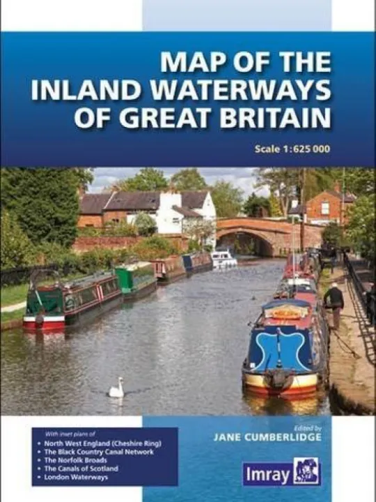
First published over 60 years ago when interest in reviving Britain's network of navigable and rivers was starting to gather pace, this map provides the best coverage of the system in England, Wales and Scotland.
Distances, the number of locks and restricting dimensions are given for each waterway. The simple cartography defines rivers, broad and narrow canals against generalised relief and the major road network.
Contact Us
CanalBookShop
c/o Canal Wholesale Supplies Ltd,
Unit 2, First West Business Centre,
Linnell Way,Telford Way Industrial Estate, Kettering
NN16 8PS