The Calder & Hebble Navigation
- Binding: Paperback
- Author: Mike Taylor
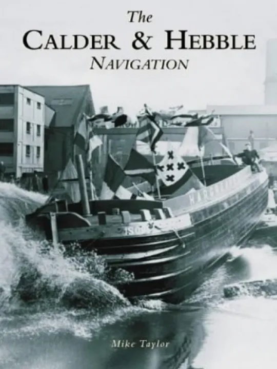
The River Calder rises in the Pennines north of Todmorden and flows to Sowerby Bridge and Salterhebble, where it receives the Hebble Brook. The river then flows through Elland, Brighouse, Mirfield and Dewsbury before reaching the Aire Calder Navigation at Wakefield. The river was made navigable in the 1770s and soon after, with the construction of the Rochdale, Huddersfield and Huddersfield Narrow canals, became part of the Mersey-Humber trade routes. Trade was brisk for many years but by the 1940s the canal was in decline; the Halifax branch was closed and surrounding canals abandoned. However, commercial traffic on the navigation soldiered on till 1981, when shipments to Thornhill Power Station ceased. Illustrated within the pages of The Calder & Hebble Navigationare over 200 images of canal boats (both horse-drawn and motor-powered), items of canal furniture andactivity on the navigation's many wharfs.
Contact Us
CanalBookShop
c/o Canal Wholesale Supplies Ltd,
Unit 2, First West Business Centre,
Linnell Way,Telford Way Industrial Estate, Kettering
NN16 8PS