Birmingham Canal Navigations
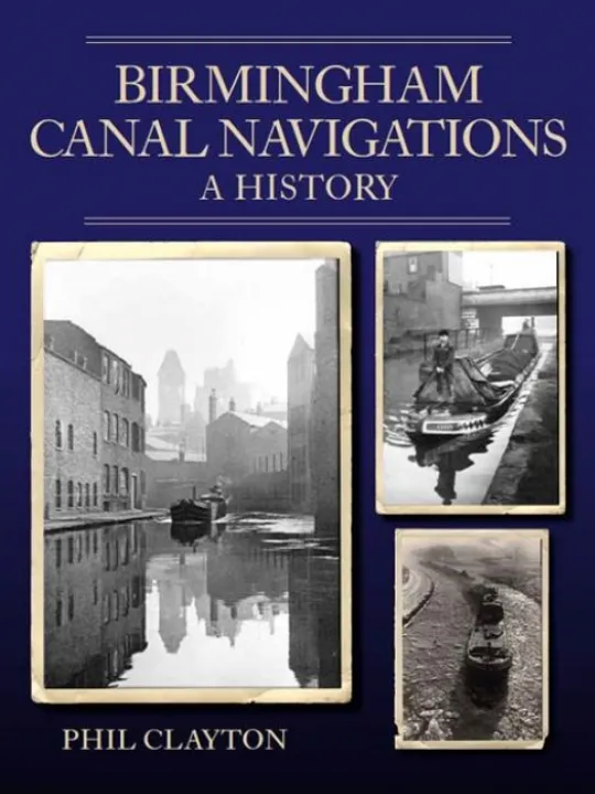
The Birmingham Canal Navigations comprise the greatest concentration of waterways in Britain. Over the course of a century, from the original Birmingham Canal of 1769, they grew to their greatest extent of almost 160 miles, all within about a 12-mile radius of their geographical centre of Walsall. The network was a major driver of the great industrial development of Birmingham and the Black Country, carrying vast quantities of raw materials and finished goods into the twentieth century. Following decades of decline, the BCN is once more an important player in the regeneration of the region’s centres and the growth of leisure. With 140 illustrations, including maps and archive photographs, this book includes: the beginnings and expansion of the network; subsequent improvements to the system; supplying the water; the people who worked the BCN; trials and tribulations, including inclement weather, subsidence, breaches, wartime and accidents; the impact and influence of the railways, and finally its decline and subsequent transition into a New Canal Age.
Phil Clayton developed an interest in the BCN after moving to the area in the 1970s. Involvement with the nascent Black Country Museum and later the BCN Society encouraged this curiosity, leading to explorations of the system on foot and by boat. A former history and geography teacher, he is currently BCNS Talks and Presentations Officer and a Society Vice-President. He has produced many articles for waterways and local history publications, and wrote and performed in a musical, Birmingham Lads and Friends to celebrate the original canal's 250th anniversary in 2019.
Contact Us
CanalBookShop
c/o Canal Wholesale Supplies Ltd,
Unit 2, First West Business Centre,
Linnell Way,Telford Way Industrial Estate, Kettering
NN16 8PS