OS map – Audlem to Nantwich (Shropshire Union Canal)
- Binding: Folded map
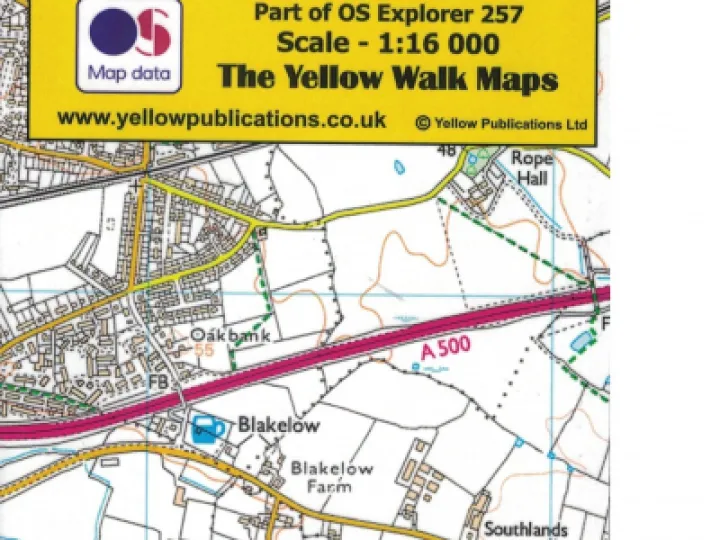
A folded Ordnance Survey map of the Shropshire Union Canal and 1-3 miles each side, from Audlem to Nantwich, showing all roads, public footpaths, bridleways, permissive footpaths etc. Part of OS Explorer Map 257, but at scale of 1:16,000 (approx. 4" to 1 mile).
Laminated and water resistant (not waterproof), folded to pocket size, with clear polypropylene cover.
Contact Us
CanalBookShop
c/o Canal Wholesale Supplies Ltd,
Unit 2, First West Business Centre,
Linnell Way,Telford Way Industrial Estate, Kettering
NN16 8PS